The first mound site was called Boyd (no photos published). The next stop was Reservoir Overlook at mile marker 105.6. The Ross Barnett Reservoir is formed by an earth filled dam of the Pearl River. It was a peaceful and pretty place.
About one mile away at mile marker 104.5 is another section of the Old Trace you can visit. This particular section is level with the surrounding lands. Many sections of the Trace are like deep gulches (see below).
This is Rocky Springs Methodist Church, built in 1837. There is a cemetery here full of interesting stones. Yes, a future blog post or two, I took many photos in that cemetery and did not get all the stones.
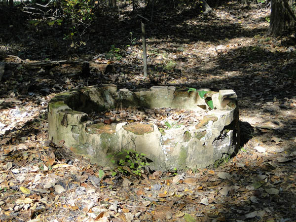
The nearby town (nearby as in just steps away) of Rocky Springs (mile marker 54.8) was a "station" along the Trace, was a thriving community from the 1790's till sometime around the mid 1860's. The spring that originally drew it's citizens dried up, the Civil War, yellow fever and insect devastation were more than the locals could deal with. About all that is left are a couple of safes and a couple of old dried up cisterns.
Our last stop of today's post is called Sunken Trace at mile marker 41.5.
Here you can get a good idea of how deep the Trace is beaten down - Man and Cappy taking a lookie see.
Our last two stops on the Trace were Mount Locust and Emerald Mound. Mount Locust had two cemeteries! Emerald Mound was amazing, so much so that the photos really don't do it justice, but, I shall try!

.


No comments:
Post a Comment